We use cookies to make your experience better. To comply with the new e-Privacy directive, we need to ask for your consent to set the cookies. Learn more.

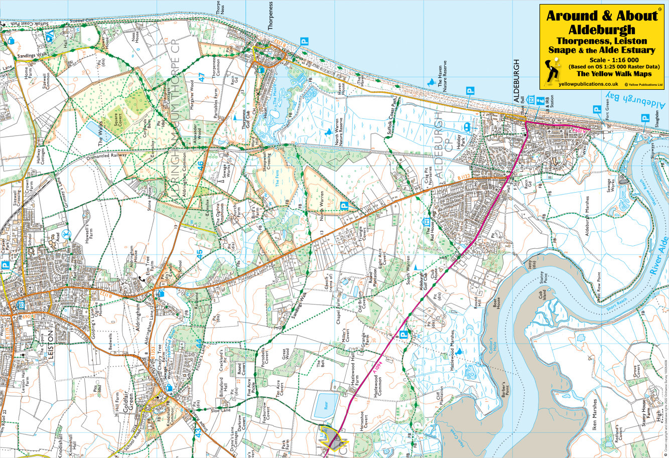
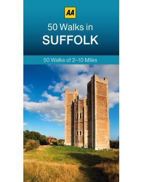
Around & About
Aldeburgh, Thorpeness, Leiston, Snape & the Alde Estuary Walking Map

£4.95
In stock
Availability In Stock
Publisher Yellow Publications
Format Folded Map
Size 47 x 32 cms (unfolded)
Scale 1:16 000 (approx 4 to 1 mile)
ISBN
9780755840700
SKU
80013
Aldeburgh and Thorpeness, nestled along the Suffolk Coast, offer enchanting walking trails. Begin at Fort Green Car Park in Aldeburgh. This 6.5-mile (10.5 km) circular walk unveils some of the finest coastal vistas within the Suffolk Coast Area of Outstanding Natural Beauty. Pass by the whimsical House in the Clouds, a Martello Tower, and a captivating scallop sculpture. The terrain is mostly flat, following public rights of way footpaths and permissive paths. A delightful coastal adventure awaits!
Related Products
Check items to add to the cart or