We use cookies to make your experience better. To comply with the new e-Privacy directive, we need to ask for your consent to set the cookies. Learn more.


In stock
Availability In Stock
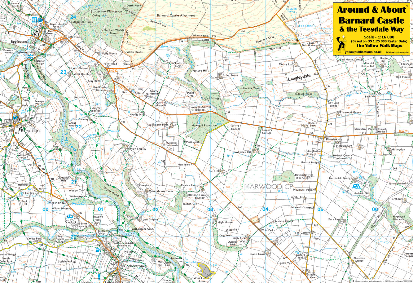
Publisher Yellow Publications
Format Folded Map
Size 47 x 32 cms (unfolded)
Scale 1:16 000 (approx 4 to 1 mile)
ISBN
9780755840700
SKU
80070
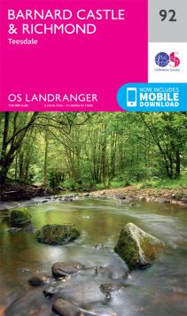
Barnard Castle and the Teesdale Way offer delightful walking experiences. The Teesdale Way is a 92-mile long-distance route spanning from Dufton in the North Pennines to Redcar & Cleveland’s beaches on the North Sea. It winds through County Durham, passing by Middleton-in-Teesdale, Barnard Castle, and other charming spots. For a more spontaneous adventure, consider a circular walk starting and ending in Barnard Castle, following the Teesdale Way along the south side of the River Tees, crossing via a footbridge near Cotherstone village, and returning on the opposite bank. The terrain is mostly flat, taking you through farmland and riverside woodlands.
Related Products
Check items to add to the cart or