We use cookies to make your experience better. To comply with the new e-Privacy directive, we need to ask for your consent to set the cookies. Learn more.


In stock
Availability In Stock
Publisher Yellow Publications
Format Folded Map
Size 47 x 32 cms (unfolded)
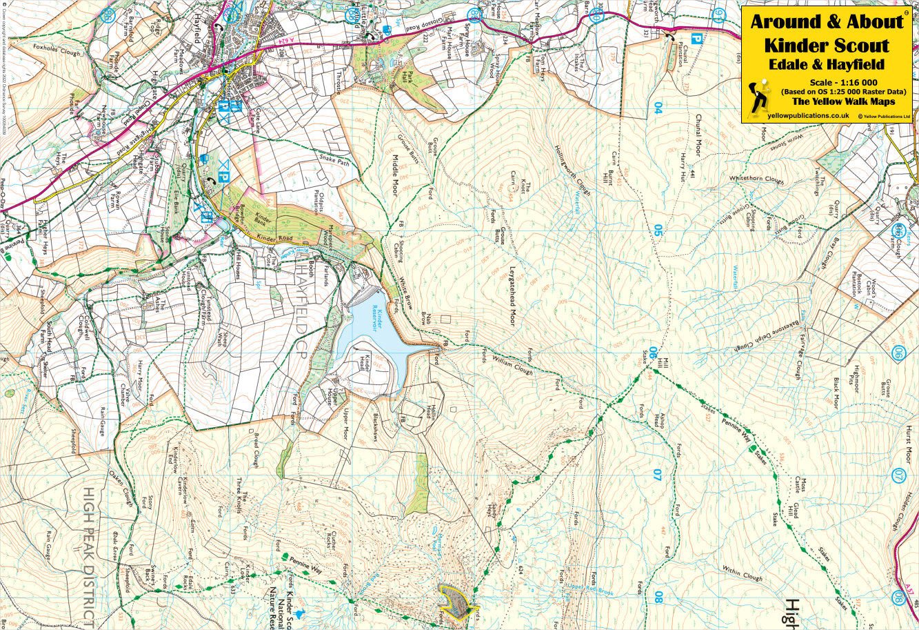
Scale 1:16 000 (approx 4 to 1 mile)
ISBN
9780755840700
SKU
80532
Kinder Scout, the highest point in the Peak District, beckons adventurers from Edale. Ascend via the steep Jacob’s Ladder path, starting at a picturesque packhorse bridge. The summit, marked by a small pile of stones, stands at 636 meters. Choose from circular routes back to Edale, ranging from 8 to 10 miles. Sweeping views of the Edale valley and Great Ridge await, along with a dash of Kinder peat bogs!
Related Products
Check items to add to the cart or