We use cookies to make your experience better. To comply with the new e-Privacy directive, we need to ask for your consent to set the cookies. Learn more.


In stock
Availability In Stock
Publisher Yellow Publications
Format Paperback
Size 26 x 11 cms (folded) / 26 x 42 cms (unfolded)
Scale 1:40 000 (approx 1.6 to 1 mile)
ISBN
9780755843831
SKU
81317
Pages
16
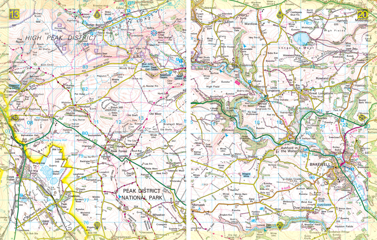
Yellow Atlas - Peak District National Park