We use cookies to make your experience better. To comply with the new e-Privacy directive, we need to ask for your consent to set the cookies. Learn more.

Around & About XL
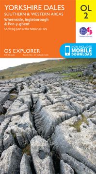
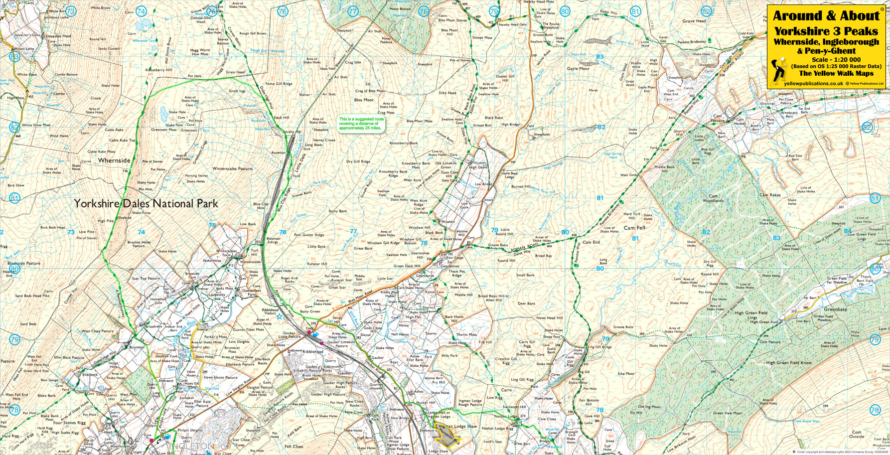
Yorkshire 3 Peaks, Whernside, Ingleborough & Pen-y-Ghent 20K walking map

£5.95
In stock
Availability In Stock
Publisher Yellow Publications
Format Folded Map
Size 63 x 32 cms (unfolded)
Scale 1:20 000 (approx 3.2 to 1 mile)
ISBN
9780755842599
SKU
81085
The Yorkshire Three Peaks, comprising Pen-y-Ghent, Ingleborough, and Whernside, form a captivating circular route in the Yorkshire Dales. Covering 24 miles with 5000 ft of ascent, this challenging walk offers panoramic vistas. Explore rugged terrain, limestone pavements, and ancient settlements. Remember to follow the Yorkshire Three Peaks Code of Conduct to preserve these fragile environments.
Related Products
Check items to add to the cart or