We use cookies to make your experience better. To comply with the new e-Privacy directive, we need to ask for your consent to set the cookies. Learn more.
About Us
Who We Are
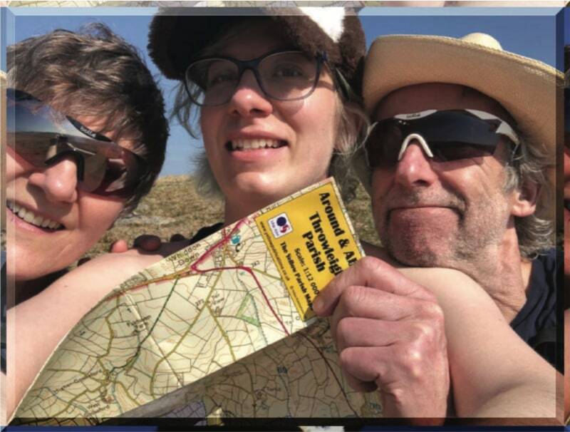
Corrie & Sean with their daughter Bryony enjoying a glorious day on Dartmoor
The Story So Far
It all started at the back end of 2005 when Sean (that’s me) decided he needed a new direction in life. Corrie and I live on Dartmoor and are keen walkers and cyclists with a lifelong interest in maps and especially those from our great mapping organisation Ordnance Survey. When we saw the opportunity to buy a mapping company based in Cornwall, we were sold. It was a steep hill to climb and there were times when we thought what have we done. However, we were now distributors for the Yellow Tide Timetables and when Rosemary (the publisher) decided to call it a day, we took over. This was 2008 and it wasn’t until the second half of 2012 that we had the idea for Yellow Maps to join the Yellow Tide Timetables. We were already an Ordnance Survey distributor and after discussions with their Head of Sales, became an OS Partner in order to licence their data. We initially created 7 local maps for our customers and when 3 of them sold their 10 maps in the first week, decided this might be a map that walkers liked. There is much water under the bridge, and we have come a long way, since then with over 2000 titles spread across the whole of the England, Scotland and Wales and countless small retailers stocking their local map.
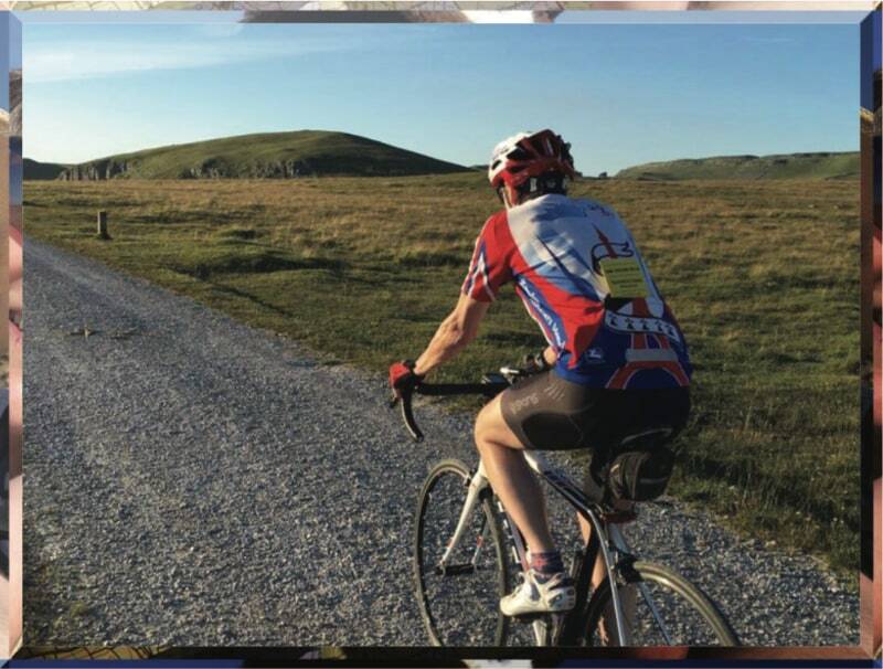
Cycling up by Malham Cove with my trusty Yorkshire Dales Yellow Atlas
Where To Now
The World, or at least Great Britain, is our oyster and you can expect to see new titles appearing regularly now that Rachel (our Cartographer) has joined the fold. We intend (read hope) to be more active on the social side, letting our followers know what has arrived or is in the pipeline. We often have people ask, can you make a map for so and so, our answer is of course and all we ask is that you find a local shop that is happy to stock them (our starter packs are 10 maps and a little display stand). After all this is how we have managed to create so many maps!