We use cookies to make your experience better. To comply with the new e-Privacy directive, we need to ask for your consent to set the cookies. Learn more.


In stock
Availability In Stock
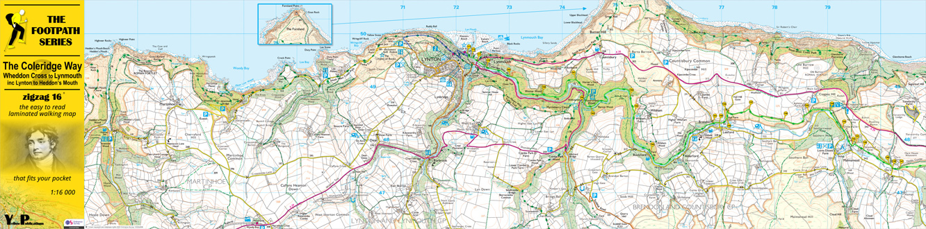
Publisher Yellow Publications
Format Folded Map
Size 27 x 10 cms (folded) / 27 x 109 (unfolded)
Scale 1:16 000 (approx 4 to 1 mile)
ISBN
9780755842728
SKU
81337
Zigzag 16 Coleridge Way: Wheddon Cross to Lynmouth