We use cookies to make your experience better. To comply with the new e-Privacy directive, we need to ask for your consent to set the cookies. Learn more.

Zigzag
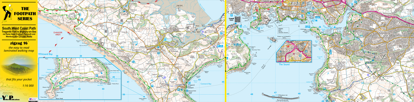
South West Coast Path 14: Tregantle Fort to Bigbury-on-Sea Walking Map

£9.95
In stock
Availability In Stock
Publisher Yellow Publications
Format Concertina laminated map
Size 27 x 10 cms (folded) / 27 x 109 (unfolded)
Scale 1:16 000 (approx 4 to 1 mile)
ISBN
9780755843091
SKU
83393
Zigzag 16 SW Coast Path 14: Tregantle Fort to Bigbury-on-Sea